


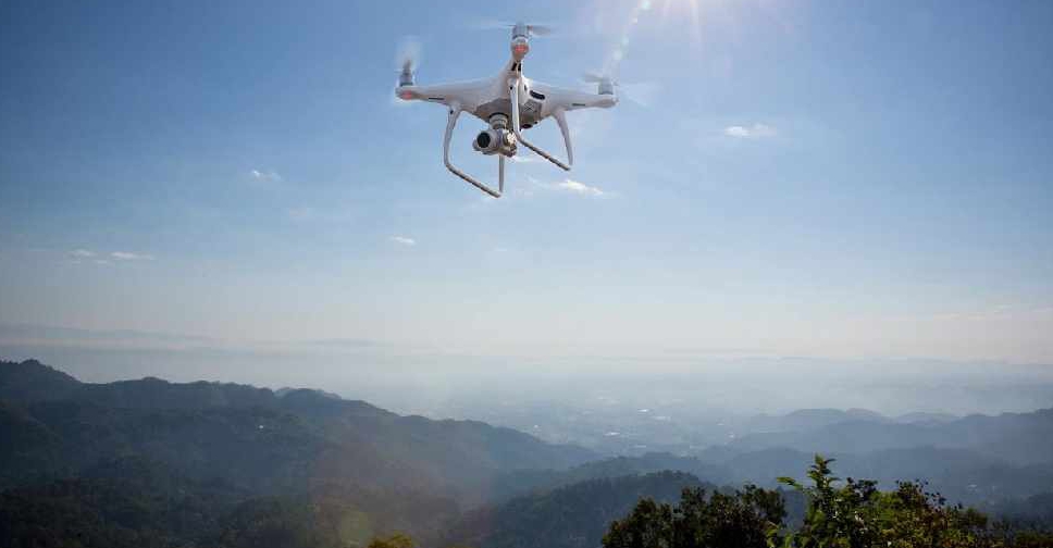
The UAE has completed the trial phase of a project to map agricultural areas using drones.
It's been helping the authorities collect data on farms and greenhouses in the country, as well as livestock population and soil type.
The Ministry of Climate Change and Environment (MOCCAE) is also using the technology to monitor crops and help farmers with forward planning.
The project's pilot phase between August and December in 2018, involved remote sensing and aerial imagery of Wadi Al-aim in Ras Al Khaimah.

 UAE fines 42 domestic worker recruitment firms for violating rules
 Dubai's RTA expands e-bike delivery service to seven new areas
 Sharjah Charity sends food aid to Bangladesh flood victims
 UAE condemns Israeli settler attacks in occupied West Bank